The Direct Ride or the One-Change Route?
Compare a direct ride with a one-change route by mapping your stops, street crossings and wayfinding needs, then choose the option that fits your day.
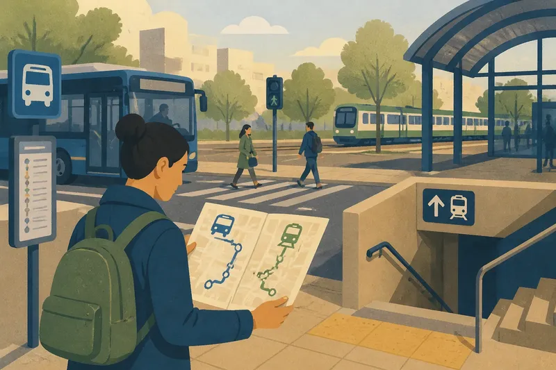
A direct ride or a one-change route can feel very different because of the streets between stops, not just the lines on a map. For an urban commute, note where you walk, cross roads and need to find your way; those details often decide which route is easier to live with.
Read the street-level route
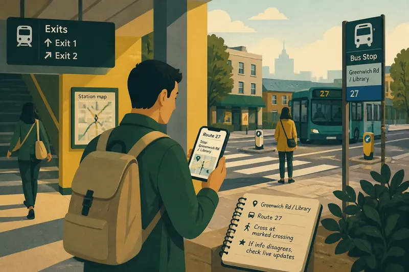
Start with the walk from your door to the first stop and from the final stop to your destination. Use a local street map or an app such as Google Maps to check the actual path, including crossings, stairs, sheltered walkways and entrances. A stop that looks close on a route map may sit on the other side of a busy road or a large junction.
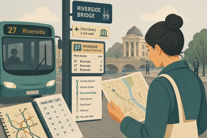
Then look at the route as a sequence of places rather than a line. A direct bus may pass through several busy streets before reaching your district. A bus-and-train journey may involve a short walk through a station, followed by a stop near your destination. Neither shape is automatically easier: the useful question is what you need to do at each point.
Notice wayfinding demands
Wayfinding is the work of staying oriented: recognising the right stop, following signs, choosing the correct exit and confirming you are heading towards the destination. Familiar streets can make a route feel straightforward even when it involves more walking. An unfamiliar interchange can feel demanding if signs are hard to spot or exits lead in different directions.
Look for concrete cues before you travel: stop names, platform letters, station exits, street names and landmarks visible from the pavement. If a journey includes a large station, check its map and identify the entrance and exit you need. For a bus stop near a junction, note which side of the road serves your direction.
Accessibility needs can change the route that works. Check whether the path includes stairs, steep slopes, narrow pavements or crossings without an accessible signal. If you have a mobility concern or need a specific access arrangement, consult the transport operator or a qualified professional for guidance relevant to your circumstances.
Check the shared spaces
Stops, pavements and station corridors are shared spaces, and their layout affects how easily you can move through them. Notice where queues form, whether a bus stop has room to wait clear of the pavement flow, and whether the station route requires crossing a busy concourse. A quieter path may be easier to follow; a crowded one may require more attention to signs and other people.
Consider weather and what you carry. A covered station passage can matter on a wet day, while a route with several exposed crossings may feel less comfortable with a bag or pushchair. Keep the comparison grounded in the actual places on your journey rather than assuming that a route type is always more convenient.
Use this route checklist
- Check the walk to the first stop on a street map; if it includes a crossing you find difficult, choose an accessible approach or another stop.
- Check the final stop against your destination entrance; if the walk requires an awkward detour, compare a stop on a different street and use the more direct approach.
- Check the direction signs at each station or interchange; if the required platform or exit is unclear, look up the station map in advance or choose a route with clearer wayfinding.
- Check whether the path includes stairs or steep slopes; if those are unsuitable for your needs, consult the operator for an accessible alternative.
- Check which side of the road serves your bus direction; if the stop is across a difficult junction, use a safer crossing or another boarding point.
- Check where queues and pedestrian flows meet; if waiting there would block your path or feel uncomfortable, identify a nearby designated waiting area or another stop.
Questions about route finding?
How can I tell which side of the road has my bus?
Check the stop name, route display and direction shown by the transport operator’s app or timetable. If the information is unclear, confirm the stop with operator staff or use a clearly signed stop serving the same direction.
What should I check before using a station exit?
Look at the station map for the exit name and the street or landmark it reaches. If the exit is closed or does not lead towards your destination, follow the station’s signs to another exit rather than crossing the station by guesswork.
How do I assess a route I have not walked before?
Trace it on a street map and identify crossings, entrances and visible landmarks before setting out. If a section remains unclear, choose a route with more legible signs or ask the operator about the stop or station layout.
What if my usual walking route is blocked?
Use a signed diversion or a safe, open public path rather than cutting through traffic or a restricted area. If the obstruction affects access to a stop or station, check current operator information for an alternative entrance or boarding point.
A worked route choice
Imagine you leave a fictional flat near Alder Street for a fictional office by Market Square. Your map shows two options: a direct bus that stops on the far side of a busy junction, or a bus to Central Station followed by a train to a stop beside the office. You check the bus stop location, the station map, and the final street walk. The direct bus would require crossing the junction and walking past two blocks; the connecting route would mean finding the train platform and using the exit marked for Market Square.
Next, you check whether the station path has stairs and whether the platform and exit signs are legible on the map. In this invented situation, they are, and you are comfortable using them. You choose the train route for a day when the shorter final walk matters. If the station access were unsuitable or the exit unclear, you would instead choose a bus stop with a safer crossing and a clearer walk, even if that meant remaining on the direct service. The decision follows from the route features you can observe, not from a general rule about buses or trains.
Keep the route legible
For a direct ride or a one-change route, keep a small set of landmarks in mind: the right boarding side, the station exit or the street where you leave the vehicle. Check current operator information if a stop, entrance or path changes, and use a map to confirm the walking sections. A legible journey is one where you can see what to do next at each point, including when the street layout makes the obvious line on the map misleading.